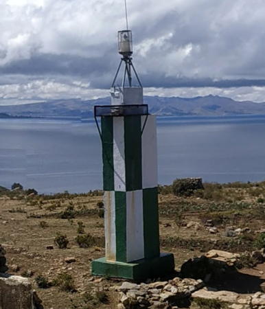
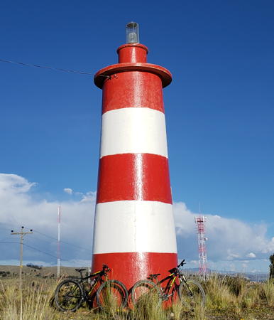
The Plurinational State of Bolivia is a landlocked and mostly mountainous South American country, so at first glance one might assume it has no use for lighthouses. However there is navigation on both sides of the country. On the west side Bolivia and Perú share the waters of Lake Titicaca, the largest lake in South America and the highest navigable lake in the world. Ferries and tour boats are busy on the lake despite its altitude of 3812 m (12,507 ft). On the east side the 11 km (7 mi) long Canal Tamengo links the town of Puerto Suárez on Lago Cáceres in Bolivia to the Rio Paraguai at Corumbá, Brazil, giving Bolivia a lengthy connection with the Río de la Plata and Atlantic Ocean some 1300 km (810 mi) downstream.
Spanish is the official language of Bolivia along with several dozen indigenous languages. The Spanish word for a lighthouse is faro. In Spanish isla is an island, cabo is a cape, punta is a promontory or point of land, péñon is a rock, arrecife is a reef, bahía is a bay, ría is an estuary or inlet, estrecho is a strait, río is a river, and puerto is a port or harbor. Also, the Spanish word canal means a natural channel, not an artificial canal.
Aids to navigation in Bolivia are maintained by the Servicio
Nacional de Hidrografía Naval (SNHN) ![]() , an agency of the Bolivian Navy (Armada Boliviana). The August 2010 Notice to Mariners listed most of the
lights as "inoperable" but it appears that efforts were underway
to get them all back into service.
, an agency of the Bolivian Navy (Armada Boliviana). The August 2010 Notice to Mariners listed most of the
lights as "inoperable" but it appears that efforts were underway
to get them all back into service.
ARLHS numbers are from the ARLHS World List of Lights. SNHN numbers are those appearing on the Bolivian light list; for Lake Titicaca these numbers are chosen to extend the numbering on the Peruvian list. Bolivian lighthouses are not listed by the international light lists.
- General Sources
- Aviso a los Navegantes - Agusto 2010
- Published by SNHN, this notice to mariners (a pdf document) includes a description of navigable waterways in Bolivia and light lists for Lake Titicaca and the Canal Tamengo. The light list for the lake includes lights in the Peruvian section of the lake.
- Lighthouses in Bolivia
- Photos by various photographers available from Wikimedia.
- Google Maps
- Satellite view of Lake Titicaca.

Faro Tamengo, Tamarinero, 2010 (reposted 2018)
Google Maps photo by Pedro Rafael Medrano Pardo

