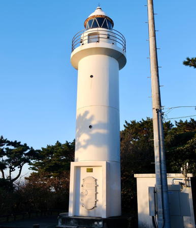
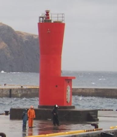
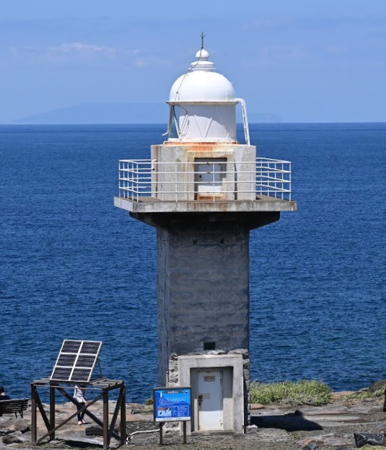
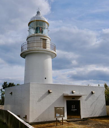
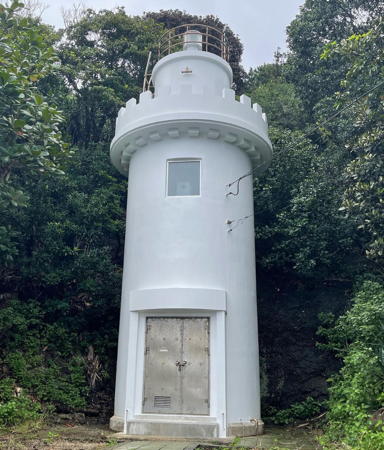
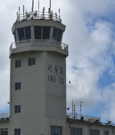
The Nanpō Islands (Nanpō Shotō, "Southern Islands") is a name for all the islands administered by Japan south of the main Japanese islands. Most of them form an archipelago of volcanic islands stretching some 1200 km (750 mi) southward from Tōkyō Bay. The chain includes three main groups of islands: the Izu Islands in the north, the Ogasawara (Bonin) Islands to the south, and the Kazan (Volcano) Islands in the far south. For administrative purposes all the islands are under the government of the Tōkyō Metropolis, one of the 47 prefectures into which Japan is divided.
The Izu Islands have a permanent population of about 25,000. Izu Ōshima, the largest of the islands, is also the northernmost. Several of the islands, including Izu Ōshima, have had recent volcanic activity, and one of them, Miyakejima, was evacuated from 2000 to 2005 due to an ongoing eruption. Despite these dangers the islands are popular tourist destinations accessible by ferry from Tōkyō and from Atami in Shizuoka Prefecture. The islands include many units of the Fuji-Hakone-Izu National Park.
The Ogasawara (Bonin) Islands are located well to the south, 1000 km (620 mi) south of Tōkyō. The Ogasawara Islands were actually settled by American and British sailors starting about 1830 but they were annexed by Japan in 1876. After World War II they were administered by the U.S. from 1945 to 1968, when they were returned to Japanese control. Two of the islands, Chichi Jima and Haha Jima, are inhabited. There is no airport; access to the islands is by a ship that sails weekly from Tōkyō.
The Kazan (Volcano) Islands are located even farther south; they include Iwo Jima, the site of the famous World War II battle. Annexed by Japan in 1891, they were also administered by the U.S. from 1945 to 1968, when they were returned to Japanese control. They are uninhabited except for the staff of a Japanese air base.
In Japanese the word for a lighthouse is tōdai or toudai (灯台). The words saki and misaki are for capes and headlands, hana ("nose") is a promontory, hantō is a peninsula, shima (also spelled sima or jima) is an island, bae is a reef, iwa or shi is a rocky reef, amase or se is a shoal, wan is a bay, nada is a sound or basin, kaikyō is a strait, kawa is a river, and kō or minato is a harbor.
Lighthouses in Japan are operated and maintained by the Japanese Coast Guard's Maritime Safety Agency. Lighthouses in the Islands are the responsibility of the Coast Guard's office at Shimoda in Shizuoka Prefecture.
ARLHS numbers are from the ARLHS World List of Lights. JP numbers are the Japanese Coast Guard's light list numbers. Admiralty numbers are from volume M of the Admiralty List of Lights & Fog Signals. U.S. NGA List numbers are from Publication 112.
- General Sources
- Lighthouses in Japan - Tōkyō
- A site providing photos and data for most major Japanese lighthouses.
- Lighthouses-Japan.com - Tōkyō
- Another comprehensive site with photos and notes from visits to many lighthouses.
- Misty's Japanese Lighthouse Tour - Tōkyō
- Photos and a few notes for lighthouses in all parts of the country.
- Form of a Lighthouse - Tōkyō
- Another site with many photos of Japanese lighthouses.
- Lighthouses in Tokyo
- Photos by various photographers available from Wikimedia.
- Online List of Lights - Japan - Nanpo Shoto North Isles and South Isles
- Photos by various photographers posted by Alexander Trabas.
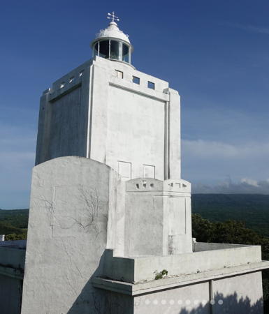
Izu Ōshima Light, Izu Ōshima, September 2022
Instagram photo by Satoro Umehama
