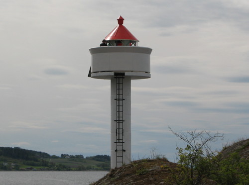
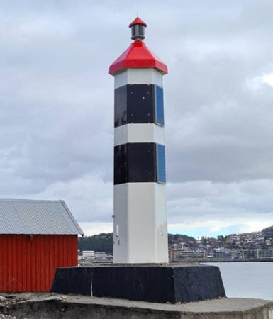
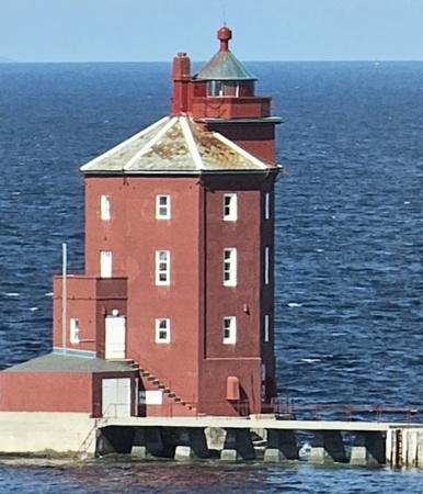
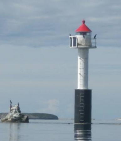
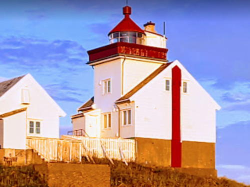
The Kingdom of Norway (Norge in Norwegian) is one of the world's most maritime nations. The country is long and narrow, with drowned valleys called fjords that bring the sea far inland in most regions. The mainland coast is estimated to be 2650 km (1650 mi) long and when all the islands and minor indentations are counted the total coastline approaches an astonishing 60,000 km (37,500 mi), long enough the go around the world one and a half times. With such a lengthy and rocky shore it's not surprising that Norway has a large number of lighthouses.
Norway is divided into counties (fylker) and the counties are divided into municipalities (kommuner). This page lists lighthouses of the Trondheim region in Trøndelag County in northwestern Norway. It is one of four pages for this large region. There is a page for Hitra and Frøya to the south, the coastal region from Åfjord through Namsos is on the Central Trøndelag page, and the northernmost municipalities of Vikna, Nærøy, and Leka are on the Northern Trøndelag page.
In Norwegian a lighthouse is a fyrtårn (fire tower) or simply a fyr; a fyrlykt is a beacon and a lyktehus is a lantern. Øy is an island, holmen is an islet, skjær is a skerry (a tiny island or rocky reef), sund is a strait (often between an island and the mainland), bukt is a bay, nes is a headland, and havn is a harbor.
Aids to navigation in Norway are maintained by the Kystverket (Coast Directorate), an agency of the Ministry of Transport and Communications.
ARLHS numbers are from the ARLHS World List of Lights. NF numbers are from the Norsk Fyrliste. Admiralty numbers are from volume L of the Admiralty List of Lights & Fog Signals. U.S. NGA List numbers are from Publication 115.
- General Sources
- Norsk Fyrhistorisk Forening
- News and photos from the Norwegian Lighthouse Association.
- Online List of Lights - Norway - Northwest Coast
- Photos by various photographers posted by Alexander Trabas. Many of the photos for this area are by Ronald Wöhrn, Michael Boucher or Arno Siering.
- Lighthouse Pages from Anke and Jens - Norway
- Excellent photos of more than 60 Norwegian lighthouses.
- Norway's Fjorden and Lighthouses
- Photos taken by Charles W. Bash on a 2010 cruise from Bergen to North Cape.
- Leuchttürme an der norwegischen Küste
- Photos posted by Bernd Claußen.
- Lighthouses in Trøndelag
- Photos by various photographers available from Wikimedia.
- World of Lighthouses - Norway
- Photos by various photographers available from Lightphotos.net.
- Norwegische Leuchttürme auf historischen Postkarten
- Historic postcard images posted by Klaus Huelse.
- Liste over Norske Fyr
- From Norwegian Wikipedia, a handy list of Norwegian light stations with their dates of establishment.
- Norsk Fyrliste
- The official Norwegian light list can be downloaded in .pdf format.
- OpenSeaMap
- Navigational chart information for this area.

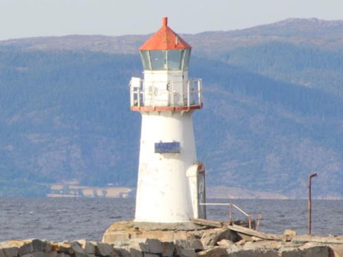
Agdenes Light, Agdenes, April 2022
Instagram photo by Rolf Aage Rønning
