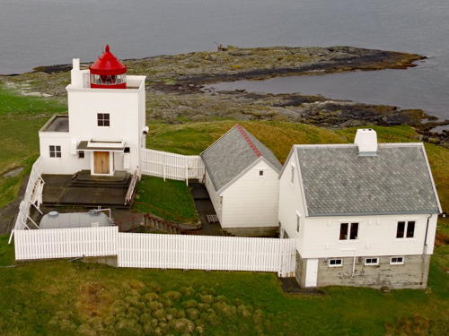
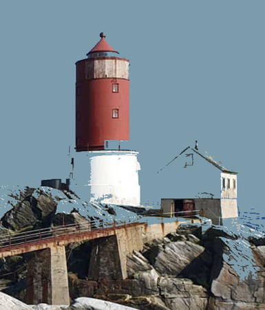
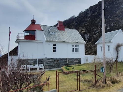
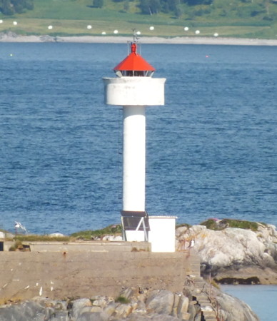
The Kingdom of Norway (Norge in Norwegian) is one of the world's most maritime nations. The country is long and narrow, with drowned valleys called fjords that bring the sea far inland in most regions. The mainland coast is estimated to be 2650 km (1650 mi) long and when all the islands and minor indentations are counted the total coastline approaches an astonishing 60,000 km (37,500 mi), long enough the go around the world one and a half times. With such a lengthy and rocky shore it's not surprising that Norway has a large number of lighthouses.
Norway is divided into counties (fylker) and the counties are divided into municipalities (kommuner). This page lists lighthouses of the southern part of Møre og Romsdal County in the central part of the west coast, including the port of Ålesund. This region is the traditional district called Sunnmøre. Sunnmøre has a population of more than 140,000, more than half the population of the county.
In Norwegian a lighthouse is a fyrtårn (fire tower) or simply a fyr; a fyrlykt is a beacon and a lyktehus is a lantern. Øy is an island, holmen is an islet, skjær is a skerry (a tiny island or rocky reef), sund is a strait (often between an island and the mainland), bukt is a bay, nes is a headland, and havn is a harbor.
Aids to navigation are maintained by the Kystverket (Coast Directorate), an agency of the Ministry of Transport and Communications.
ARLHS numbers are from the ARLHS World List of Lights. NF numbers are from the Norsk Fyrliste. Admiralty numbers are from volume L of the Admiralty List of Lights & Fog Signals. U.S. NGA List numbers are from Publication 115, but in 2018 NGA dropped many of its listings for the Norwegian fjords.
- General Sources
- Norsk Fyrhistorisk Forening
- News and photos from the Norwegian Lighthouse Association.
- Online List of Lights - Norway - Northwest Coast
- Photos by various photographers posted by Alexander Trabas. Many of the photos for this area are by Michael Boucher or Arno Siering.
- Lighthouse Pages from Anke and Jens - Norway
- Excellent photos of more than 60 Norwegian lighthouses.
- Norway's Fjorden and Lighthouses
- Photos taken by Charles W. Bash on a 2010 cruise from Bergen to North Cape.
- Leuchttürme an der norwegischen Küste
- Photos posted by Bernd Claußen.
- Leuchttürme in Norwegen
- Photos posted by Andreas Köhler.
- Lighthouses in Ålesund Area
- Photos by various photographers available from Wikimedia.
- Norwegische Leuchttürme auf historischen Postkarten
- Historic postcard images posted by Klaus Huelse.
- Norske Fyr
- From Wikipedia, a handy list of Norwegian light stations with their dates of establishment.
- Norsk Fyrliste
- The official Norwegian light list can be downloaded in six .pdf volumes.
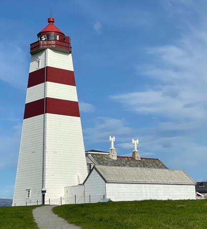
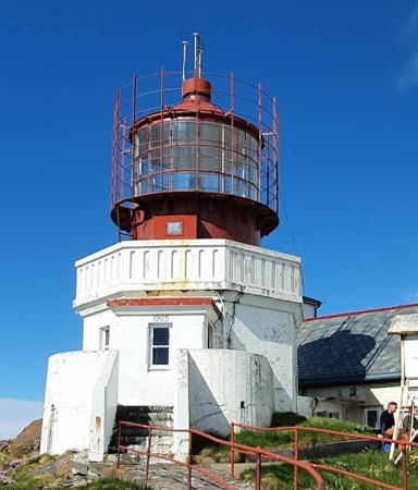
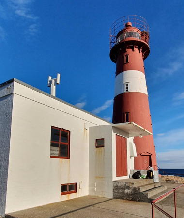
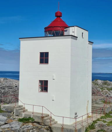
Alnes Light, Giske, August 2023
Instagram photo by Maryam Alzood
