The Republic of Palau (formerly spelled Belau or Pelew) is an island nation at the southeastern edge of the Philippine Sea, southwest of Guam and west of the islands of the Micronesian federation. The islands were colonized by Spain, although there was little European contact until the 1880s. After the Spanish-American War of 1898 Spain sold Palau and other Micronesian islands to Germany. In 1914, early in World War I, the islands were annexed by Japan. American forces captured Palau in 1944 after bloody fighting in the Battles of Peleliu and Angaur.
Following World War II Palau was governed by the United States as part of the Trust Territory of the Pacific Islands. In 1979 Palau voted not to join the new Federated States of Micronesia. Palau was the last region of the trust territory to achieve its independence, in 1994. The new country signed a compact of free association with the United States; this agreement provides for U.S. economic subsidies and continues various U.S. domestic services to Palau's citizens.
Palau includes at least 250 islands in arc extending north to southwest. Most of the population lives on the largest island Babeldaob and its near neighbor Koror. The population of the country is about 18,000.
Navigational aids in Palau are managed by the Ministry of Public Infrastructure, Industries, and Commerce.
ARLHS numbers are from the ARLHS World List of Lights. Admiralty numbers are from volume M of the Admiralty List of Lights & Fog Signals. U.S. NGA List numbers are from Publication 111.
- General Sources
- World of Lighthouses - Palau
- Photos by various photographers available from Lightphotos.net.
- Online List of Lights - Palau
- Photos by various photographers posted by Alexander Trabas.
- Google Maps
- Satellite view of the islands.

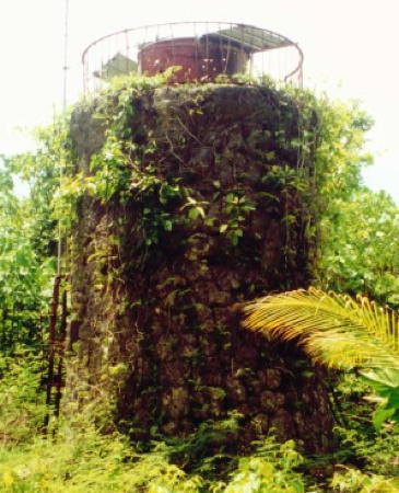
Angaur Light ruins, Angaur, April 2023
Google Maps photo by s ty
