French Polynesia (Polynésie française in French) is a broad territory in the South Pacific Ocean including a series of archipelagos with 121 islands in all, 75 of them inhabited. Many of the islands are low atolls but others are of volcanic origin and are mountainous. France began colonizing the islands in 1842 and controlled all of them by 1889. Since 2004 Polynesia has had the special status of an overseas country (pays d'outre-mer) which gives it control over nearly all local matters while France controls justice, security, defense, and foreign policy.
In very broad strokes French Polynesia includes four island chains aligned in parallel from northwest to southeast. The northernmost chain is the Îles Marquises (Marquesas); then the long chain of the Îles Tuamotu and Îles Gambier crosses the center of the country. To the southwest are the major islands of the Îles de la Société, divided into a windward group (Îles du Vent) including Tahiti and Mo'orea and a leeward group (Îles Sous le Vent) including Bora Bora. Finally, the the chain of the Îles Australes lie in the south of the country.
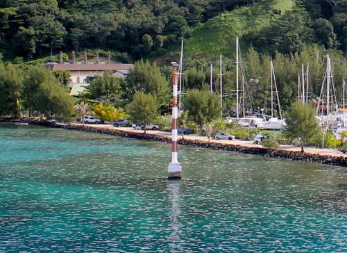
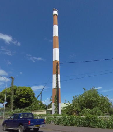
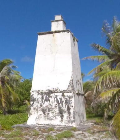
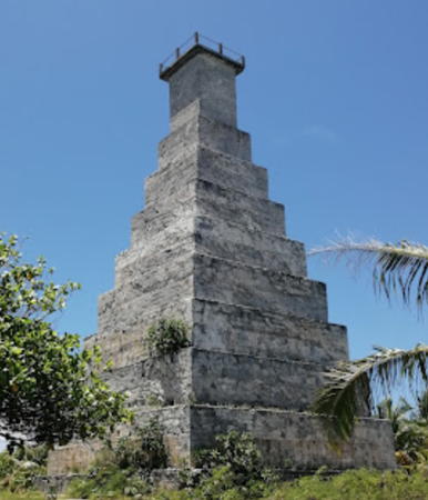
The appropriately romantic tower at Pointe Vénus, Tahiti, shown at right, and the Pouheva lighthouse seen below are among the few traditional lighthouses in French Polynesia. Most modern navigational aids in the territory are small but there are several historic towers formerly used as lighthouses. For most of these sites additional information and photos are needed.
The French word for a lighthouse, phare, is often reserved for the larger coastal lighthouses; a smaller light or harbor light is called a feu (literally "fire," but here meaning "light") or a balise (beacon). The front light of a range (alignement) is the feu antérieur and the rear light is the feu postérieur. In French île is an island, cap is a cape, pointe is a promontory or point of land, roche is a rock, récife is a reef, baie is a bay, estuaire is an estuary or inlet, détroit is a strait, rivière is a river, and havre is a harbor. In Tahitian fare mori is a lighthouse, motu is an island, te aau is a reef, and uahu is a harbor.
Aids to navigation in French Polynesia are maintained by the Maritime Bureau (Bureau de l'Action de l'Etat en Mer).
ARLHS numbers are from the ARLHS World List of Lights. Admiralty numbers are from volume K of the Admiralty List of Lights & Fog Signals. U.S. NGA List numbers are from Publication 111.
- General Sources
- Tahiti Heritage - Phares
- Information on several historic light structures of the Tuamotus, posted by Tahiti Heritage.
- Phares d'Océanie
- Photos posted by Alain Guyomard and Robert Carceller.
- Lighthouses in French Polynesia
- Photos by various photographers available from Wikimedia.
- World of Lighthouses - French Polynesia
- Photos by various photographers available from Lightphotos.net.
- Online List of Lights - French Polynesi - Îles de La Société, Archipel des Tuamotu, and Îles Marquises
- Photos by various photographers posted by Alexander Trabas.
- Leuchttürme Australiens, Neuseelands, und Ozeaniens auf historischen Postkarten
- Historic postcard images posted by Klaus Huelse.
- Google Maps
- Satellite view of the islands.
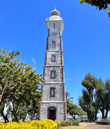
Pointe Vénus Light, Tahiti, April 2023
Google Maps photo by Captain Park


