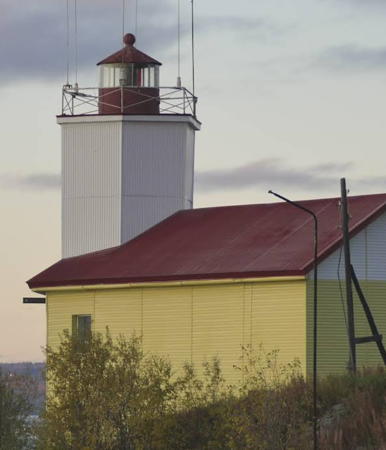
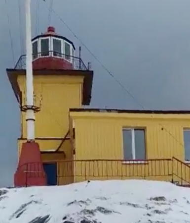
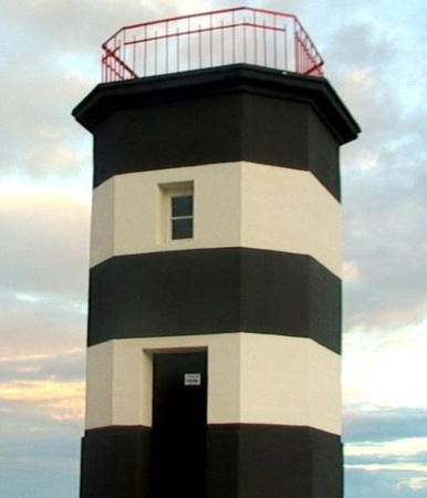
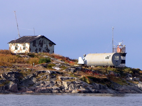
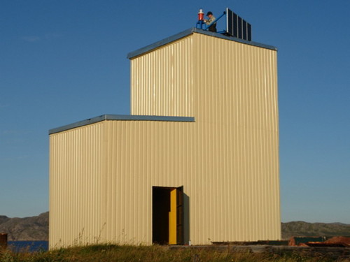
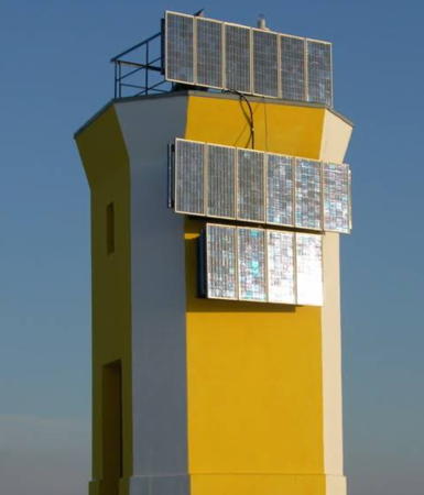
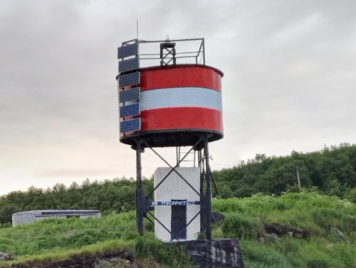
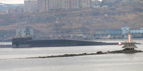
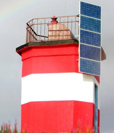
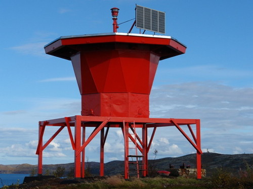
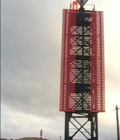
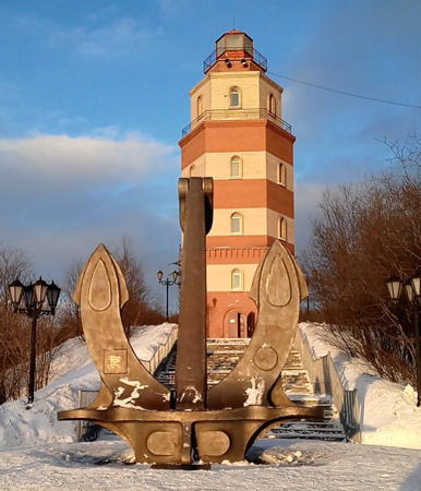
Russia (Россия, Rossiya in Russian) is by far the world's largest country, spanning a little over 150° in longitude. It is organized as the Russian Federation (Rossiyskaya Federatsiya) with members known as federal subjects (sub'yekty federatsii). Russia is primarily a continental nation but it has important coastlines on the Baltic, Black, and Caspian Seas and very long coastlines on the Arctic Ocean and North Pacific Ocean. To guard these coasts it operates hundreds of lighthouses, many of them historic.
The northwestern corner of Russia lies on the Barents Sea, an arm of the Arctic Ocean. In Murmansk Oblast, one of the federal subjects, the broad, eastward-pointing Kola Peninsula (Kolskiy Poluostrov) separates the Barents Sea from the nearly-enclosed White Sea, which extends southward more than 500 km (300 mi). At the base of the peninsula, the fjord of Kola Bay (Kol'skiy Zaliv) cuts south from the ocean. The fjord is 57 km (35 mi) long and up to 7 km (4.3 mi) wide. Although it is quite deep, the fjord is known for its strong tidal currents and is not easy to navigate.
When Germany blocked the Baltic approaches to Russia during World War I the Tsarist government built a railroad to the far northwestern corner of the country and founded the port of Murmansk on Kola Bay. Under the Soviet government the Murmansk area became a major naval base and port of entry.
The Russian word for a lighthouse is mayak (маяк); ostrov is an island, poluostrov is a peninsula, kosa is a sandy spit, rif is a reef, mys is a cape, bukhta is a bay, zaliv is a larger bay or gulf, proliv is a strait, reka is a river, and gavan' is a harbor.
Russian lighthouses are owned by the Russian Navy and maintained by the Office of Navigation and Oceanography (Управление навигации и океанографии).
ARLHS numbers are from the ARLHS World List of Lights. Admiralty numbers are from volume L of the Admiralty List of Lights & Fog Signals. Russian light list (RU) numbers are from Russian Navy Publication 2103, as reported by the Admiralty. U.S. NGA numbers are from Publication 115.
- General Sources
- Online List of Lights - Russia - Barents Sea - Murmansk Oblast
- Photos by various photographers posted by Alexander Trabas.
- Lighthouses in Murmansk Oblast
- Photos by various photographers available from Wikimedia.
- World of Lighthouses - Arctic Coast of Russia
- Photos by various photographers available from Lightphotos.net.
- Russische Leuchttürme auf historischen Postkarten
- Historic postcard images posted by Klaus Huelse.
