The Kingdom of Saudi Arabia occupies the majority of the Arabian Peninsula and has two coastlines: a long west coast on the Red Sea and a shorter east coast on the Persian Gulf. Following the collapse of the Ottoman (Turkish) Empire at the end of World War I, a complicated series of wars led in 1932 to the unification of the country, named for its founder King Abdul Aziz ibn Saud.
A note on nomenclature: the Persian Gulf (as it is usually known in the West) is called the Arabian Gulf in Arabia and the Gulf of Fars in Iran. The International Hydrographic Organization calls it the Gulf of Iran and many commentators avoid all nomenclatural problems by calling it simply "The Gulf".
This page describes lighthouses of the Saudi Gulf coast, which extends along the upper Gulf from Kuwait to Bahrain. All of this coast is included in the Eastern Province, the largest of the 13 Saudi provinces. Jubail and Dammām are the major Saudi ports on the Gulf.
The Arabic word for a lighthouse is mnarh or manara (منارة). Ra's is a cape, jazīrat is an island, minā is a harbor, and shi'b is a reef.
Lighthouses in Saudi Arabia are maintained by the Saudi Ports Authority, but offshore navigational aids in the Gulf are maintained by the Middle East Navigation Aids Service (MENAS), based in Bahrain.
ARLHS numbers are from the ARLHS World List of Lights. Admiralty numbers are from volume D of the Admiralty List of Lights & Fog Signals. U.S. NGA List numbers are from Publication 112.
- General Sources
- Lightphotos.net - Saudi Arabia
- Photos by various photographers available from Lightphotos.net.
- Online List of Lights - Saudi Arabia
- Photos by various photographers posted by Alexander Trabas.
- Middle East Navigation Aids Service -ATON's
- A map locating and identifying the MENAS beacons.
- GPSNautical Charts
- Navigational chart information for the Gulf.
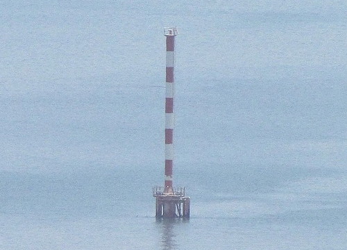
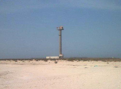
Dammām Range Rear Light, June 2012
Lightphotos.net photo copyright Dmitry Rostopshin; used by permission
