The Kingdom of Tonga is a Polynesian nation located in the central part of the tropical South Pacific Ocean, southeast of Fiji. It is the only Polynesian monarchy that survived the colonial period intact, although the kings of Tonga did accept a British protectorate from 1900 to 1970. The islands of the country stretch in a north to south line about 800 km (500 mi) long and are separated into three groups: the Vava'u Group in the north, the Ha'apai Group in the center, and the Tongatapu Group in the south. Tongatapu is the largest island and the location of the capital, Nuku'alofa. The inhabited islands are generally low coral limestone or sandy islands, but in the west of the country there are several high volcanic islands. The population of the country is about 100,000, with the majority living on Tongatapu.
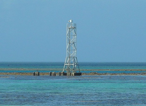
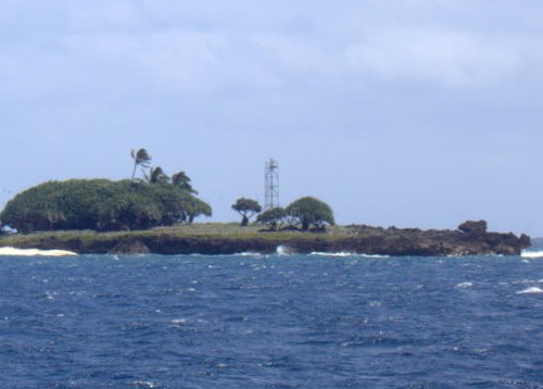
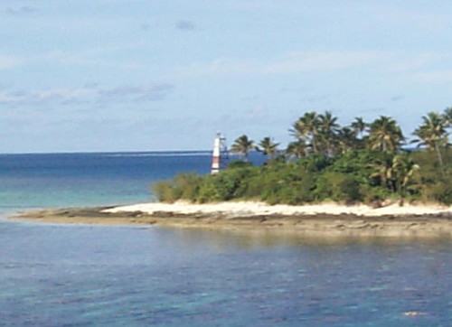
No traditional masonry-style lighthouses were ever built in Tonga. The country's navigational aids are generally mounted on skeletal towers like the one at right. The Directory lists only the taller towers.
Tongan and English are official languages in Tonga. The Tongan phrase for a lighthouse is maama kamo; motu is an island, hakau is a reef, and taulanga is a harbor.
The Ports Authority Tonga is responsible for navigational aids in Tonga.
None of the lights of Tonga are listed by ARLHS. Admiralty numbers are from volume K of the Admiralty List of Lights & Fog Signals. U.S. NGA List numbers are from Publication 111.
- General Sources
- World of Lighthouses - Tonga
- Photos by various photographers available from Lightphotos.net.
- Online List of Lights - Tonga Islands and Minerva Reefs
- Photos by various photographers posted by Alexander Trabas.
- Tonga Physical Map
- A useful map posted by Ezilon.com.

Tongatapu Narrows Range Rear Light, Tongatapu, August 2011
Lightphotos.net photo by El Baklan; permission requested

