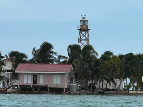
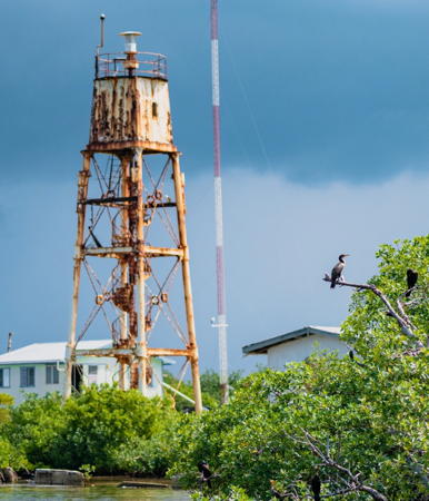
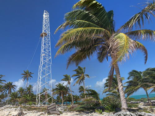
Belize is a Central American country located at the base of the Yucatán Peninsula and bordered to the north by Mexico and to the west and south by Guatemala. The coast of the country faces east on the Gulf of Honduras, the westernmost extension of the Caribbean Sea. Fringed by the Belize Barrier Reef and with a steady onshore trade wind, the coast is quite hazardous for mariners.
Settled by British pirates, privateers, and other seamen as early as the 1630s, Belize is the only English-speaking country of Central America. It was known as British Honduras from 1862 until it took the Mayan name Belize in 1973 and became independent in 1981. Belize is a Commonwealth realm recognizing the British monarch as head of state. For local government the country is divided into six districts. Belize City is the principal port.
The common Caribbean word cay for a small island is almost always spelled caye in Belize.
Aids to navigation in Belize are maintained by the Belize Port Authority.
ARLHS numbers are from the ARLHS World List of Lights. Admiralty numbers are from volume J of the Admiralty List of Lights & Fog Signals. U.S. NGA Light List numbers are from NGA Publication 110.
- General Sources
Online List of Lights - Belize - Photos by various photographers posted by Alexander Trabas. The Belize photos are by Rainer Arndt, Capt. Peter Mosselberger ("Capt. Peter") and Capt. Theodore Hinrichs ("Capt. Theo").
- Lighthouses in Belize
- Photos by various photographers available from Wikimedia.
- World of Lighthouses - Belize
- Photos by various photographers available from Lightphotos.net.
- Belize Map and Satellite Image
- Maps from Geology.com.
- GPSNavigationCharts
- Navigation chart information for Belize.

Fort George Light, Belize, January 2024
Instagram photo by Belizean Traveller


