The Republic of India (Bhārat in Hindi) is the seventh largest country and second most populous country in the world. It occupies a subcontinent of Asia that projects southward into the North Indian Ocean, separating the Bay of Bengal on the east from the Arabian Sea on the west. Before 1947 it was a patchwork of regions governed as British colonies and semi-independent princely states under British supervision. In 1947 this British Raj was partitioned into the independent states of India and Pakistan. Several French and Portuguese colonies embedded in the territory of India were absorbed in 1950 and 1961, respectively.
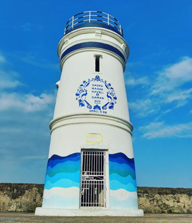
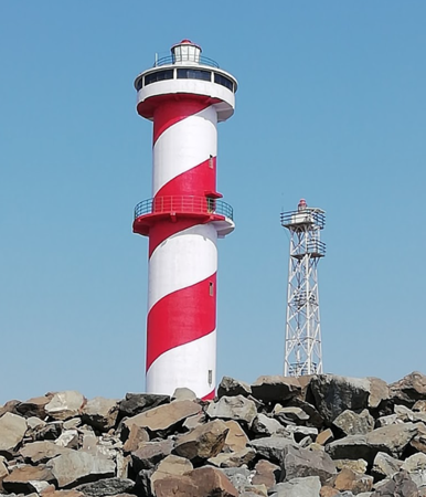
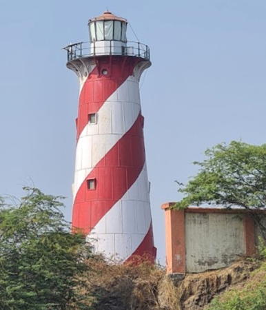
India is a federal union of 28 states and 8 union territories. The westernmost state, Gujarat, has the longest coastline of any of the states and the largest number of lighthouses. The broad Kathiawar Peninsula, in the center of the state's coastline, separates two major inlets of the Arabian Sea, the Gulf of Khambhat on the southeast and the Gulf of Kutch on the northwest. This page lists lighthouses of the southeastern part of Gujarat, surrounding the Gulf of Khambhat, including the Daman District of the tiny embedded union territory of Dadra and Nagar Haveli and Daman and Diu.
The political history of this region is quite complex. In the British Empire of India the majority of the modern territory of Gujarat was divided into numerous principalities that had control over local economic affairs. Several of these Indian states built lighthouses, including several that survive. After India became independent in 1947 the state of Saurashtra included the area of the Kathiawar Peninsula, the state of Kutch included the area north of the Gulf of Kutch, and the area east of the Gulf of Khambhat was part of Bombay State. In 1956 Saurashtra and Kutch were merged into Bombay State, and then in 1960 the northern portion of Bombay State was split off to form Gujarat.
Gujarat is divided into 33 districts and the districts are divided into county-level units called talukas.
Hindi and English are official languages in India, with English serving as a lingua franca for the entire nation. The Indian Constitution recognizes another 21 languages, called scheduled languages, and each of the coastal states has its own scheduled language in official use. In Gujarati, the official language of Gujarat, the word for a lighthouse is dīvādāṇḍī (દીવાદાંડી); tāpu is an island, nadī is a river, and bandara is a harbor.
Lighthouse administration has been under federal control since 1947. Lighthouses and aids to navigation in India are administered by the Directorate General of Lighthouses and Lightships (DGLL), an agency of the Ministry of Shipping. Lighthouses on the east coast of the Gulf of Khambhat are maintained by the Mumbai Directorate of DGLL and those on the west coast are maintained by the Jamnagar Directorate.
ARLHS numbers are from the ARLHS World List of Lights. Admiralty numbers are from volume F of the Admiralty List of Lights & Fog Signals. U.S. NGA List numbers are from Publication 112.
- General Sources
- Aids to navigation: Mumbai Region and Jamnagar Region
- Lighthouse information from DGLL, including photos for most of the lighthouses.
- Lighthouses in India
- Photos by various photographers available from Wikimedia.
- World of Lighthouses - India
- Photos by various photographers available from Lightphotos.net.
- Online List of Lights - India - Arabian Sea
- Photos by various photographers posted by Alexander Trabas.
- Indian Lighthouses
- Historic postcard images posted by Michel Forand.
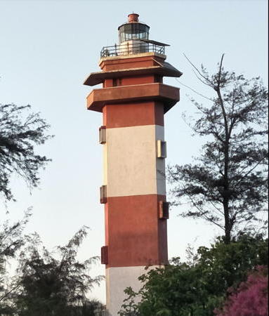
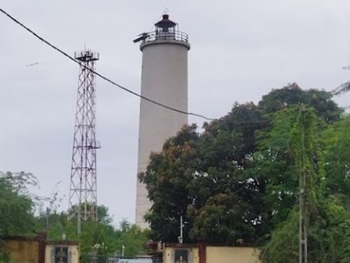
Umergam Light, Umbergaon, June 2019
Google Maps photo by Křunal Khalasi
