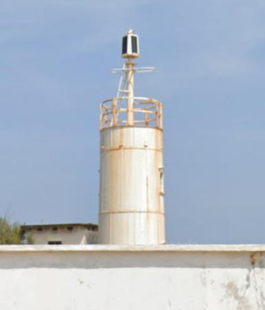
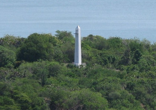
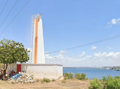
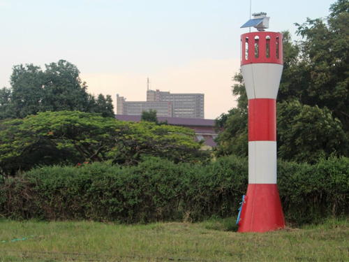
The Republic of Kenya is a nation on the equatorial east coast of Africa. Although the Portuguese were the first European colonists in Kenya, the country became a British colony from 1890 and remained under British control until it became independent in 1963. Kenya's coastline is a relatively short 540 km (335 mi) long but it includes the major port of Mombasa.
Swahili is the national language of Kenya but there is an Arab influence along the coast. As a result the word commonly used for a lighthouse is mnarani or mnara, words related to the Arabic manara. The Arabic word ra's is used for a cape. In Swahili taa is the word for light and the phrase taa ya taa ("lightbulb") is also used for a lighthouse.
Aids to navigation in Kenya are operated by the Marine Operations Department of the Kenya Ports Authority, an agency of the Ministry of Transport.
ARLHS numbers are from the ARLHS World List of Lights. Light List numbers are from volume D of the Admiralty List of Lights & Fog Signals. U.S. NGA List numbers are from Publication 112.
- General Sources
- World of Lighthouses - Kenya
- Photos by various photographers available from Lightphotos.net.
- Online List of Lights - Kenya
- Photos by various photographers posted by Alexander Trabas. Photos for Kenya are by Thomas Philipp and Capt. Melvin Monsanto.
- Afrikanischen Leuchttürme auf historischen Postkarten
- Historic postcard images posted by Klaus Huelse.
- Leuchttürme auf Briefmarken
- Huelse's extensive and useful page of lighthouse postage stamp images.

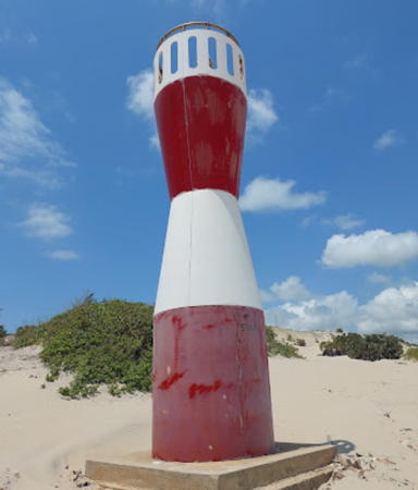
Ra's Serani Range Rear Light, Mombasa, September 2021
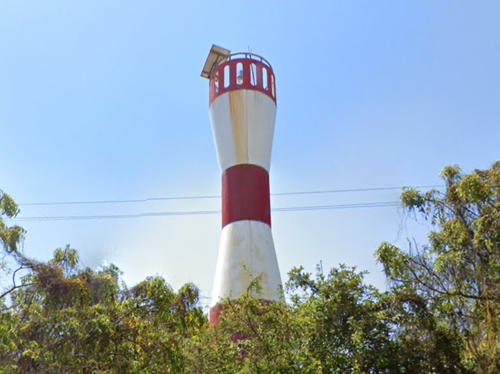
Google Maps street view
