The United States of America is a federal union of 50 states and a capital district. The state of Louisiana is located on the Gulf of Mexico at the mouth of the Mississippi River. New Orleans, located on the river about 100 miles (160 km) above the mouth, is the state's largest port; other ports along the south coast serve offshore oil platforms. The state's coastline is everywhere low and marshy, posing a challenge for lighthouse builders.
Named for King Louis XIV, Louisiana was founded with the first settlements at Natchitoches in 1714 and at New Orlens in 1718. The colony was transferred to Spain in 1762, returned to France in 1801, and then sold to the United States in the Louisiana Purchase in 1803. Organized initially as the Territory of Orleans, Louisiana was admitted to the Union as the 16th state in 1812.
For local administration Louisiana is divided into 64 county-level units called parishes.
On 29 August 2005 Hurricane Katrina devastated the city of New Orleans and all of the eastern half of the Louisiana coast. On 24 September Hurricane Rita swept through Cameron Parish at the western end of the state, swamping most of the coast that Katrina had missed. These twin disasters left Louisiana reeling.
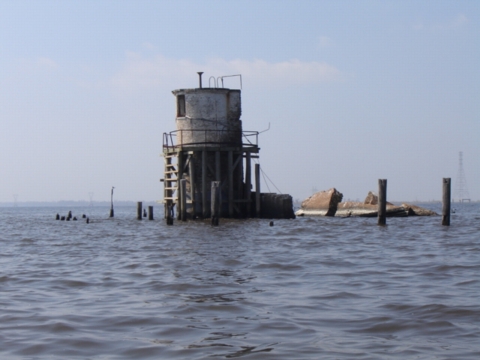
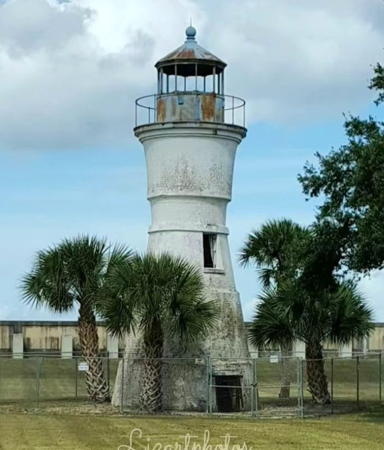
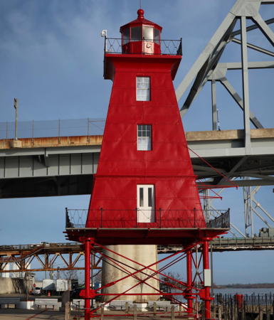
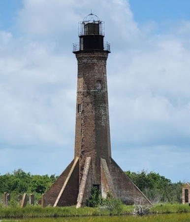
The New Canal Light in New Orleans (seen at right) was badly damaged and later collapsed. The historic Chandeleur lighthouse and the old West Rigolets lighthouse (seen below right) vanished completely. But this was in a state where lighthouses have been gravely endangered and failing for a long time. In addition to New Canal, Chandeleur, and West Rigolets Lights, the Point au Fer Reef, Timbalier Bay, Oyster Bay, Frank's Island, Pass Manchac, and Southwest Pass Entrance Lights have all been lost in the last 30 years, and there remain five more Louisiana lighthouses on the Lighthouse Digest Doomsday List. (Note: here and elsewhere in the Directory the symbol # indicates a lighthouse lost since 2000.)
Navigational aids in the United States are operated by the U.S. Coast Guard but ownership (and sometimes operation) of historic lighthouses has been transferred to local authorities and preservation organizations in many cases. Louisiana lights are the responsibility of the Coast Guard's Heartland District based in New Orleans. Sector New Orleans covers most of the state while Sector Houston-Galveston manages the southwestern coast. There are Aids to Navigation teams based at New Orleans, Venice, Dulac, Morgan City, and Sabine Pass.
ARLHS numbers are from the ARLHS World List of Lights. Admiralty numbers are from volume J of the Admiralty List of Lights & Fog Signals. USCG numbers are from Volume IV of the U.S. Coast Guard Light List.

New Canal Light, New Orleans,
March 2023
Google Maps photo by Beth Crow
 West Rigolets Light (now lost), New Orleans,
July 2004
