For much of its history Korea was an independent kingdom working to limit the influence of its larger neighbors China and Japan. In 1910 Japan annexed all of Korea. At the end of World War II in 1945 the 38° parallel was established as the dividing line between U.S. and Soviet zones of occupation and in 1948 separate civil administrations were established in the two halves of the country. The Korean War (1950-53) ended in a draw with an armistice line (now the de facto international border) falling close to the prewar 38° line. The northern half of Korea became the Democratic People's Republic of Korea (DPRK), commonly known as North Korea, a reclusive Communist state that bars all but a few carefully selected foreigners.
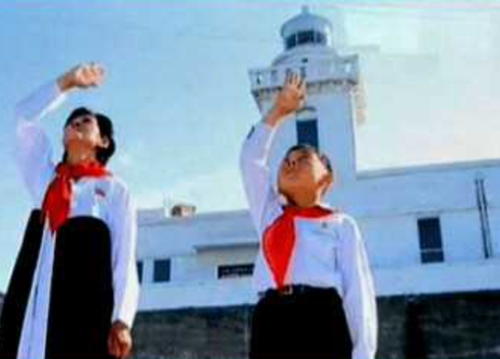
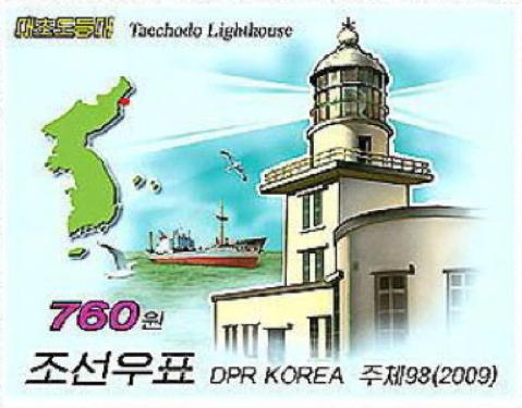
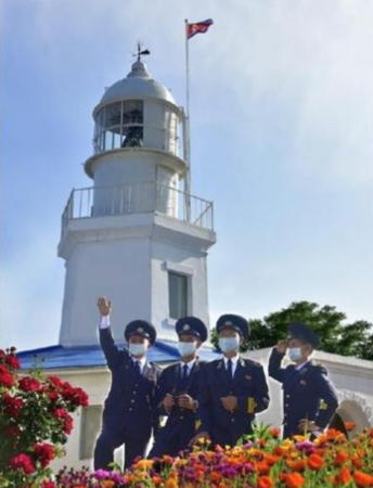
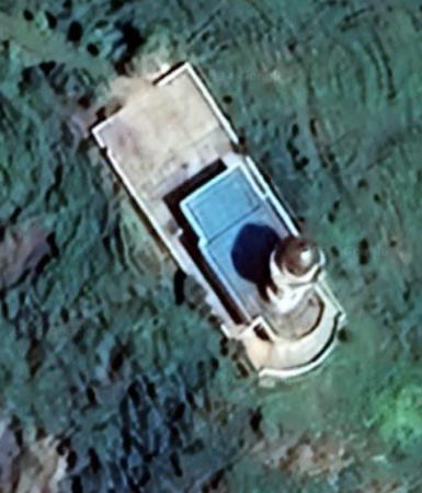
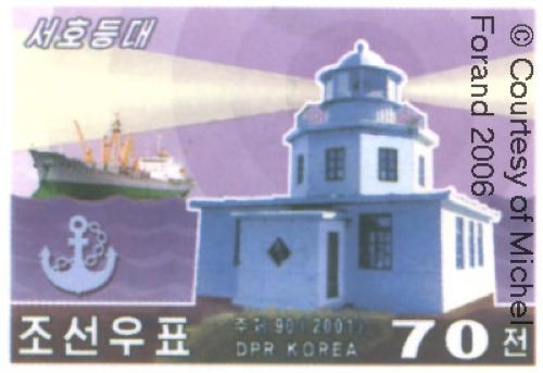
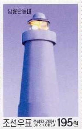
As a result of this history and the current political situation there is very little information available on the lighthouses of North Korea. Satellite imagery confirms the presence of many lighthouses including some historic lighthouses built during the period of Japanese rule. DPRK postage stamps provide images of several of the lighthouses.
North Korea is divided into nine provinces plus the capital city and one "special city." The country has two coastlines; the east coast faces the East Sea (Sea of Japan) and the west coast faces the Korea West Sea (Yellow Sea) and Korea Bay. This page covers lighthouses of the east coast, and there is a separate page for the lighthouses of the west coast. Historically the east coast has only three provinces, North Hamgyong, South Hamgyong, and Kangwon.
The romanization system used in North Korea differs from the Revised Romanization system used in South Korea. In Korean the word for a lighthouse is deungdae (등대); dan (formerly tan) is a cape, seom (som) or do (to) is an island, am or amseog is a rock, man is a bay, and hang is a harbor.
The name Korea, used internationally, is a Western version of Goryeo or Koryŏ (고려), the name of a kingdom that unified the country in the tenth century. From 1392 to 1897 the kingdom was known instead as Joseon or Chosŏn (조선). In the DPRK Korea is called Chosŏn.
Mariners note: North Korea is in IALA Region A (starboard-side lights are green) while South Korea is in Region B (starboard-side lights are red).
ARLHS numbers are from the ARLHS World List of Lights. Admiralty numbers are from volume M of the Admiralty List of Lights & Fog Signals. U.S. NGA List numbers are from Publication 112.
- General Sources
- Online List of Lights - Korea - East Coast
- Photos by various photographers posted by Alexander Trabas. This listing includes both South and North Korea.
- World of Lighthouses - North Korea
- Photos by various photographers available from Lightphotos.net.
- Leuchttürme auf Briefmarken
- Postage stamp images posted by Klaus Huelse.
- Leuchttürme Japans und Koreas auf historischen Postkarten
- Historic postcard images, also posted by Klaus Huelse.

Changdok Do Light, Wonsan, August 2010
Flickr
photo copyright
Thomas Peddle; used by permission
