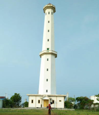
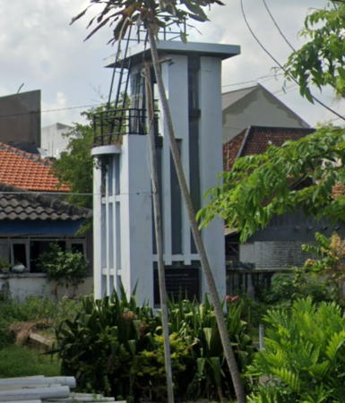
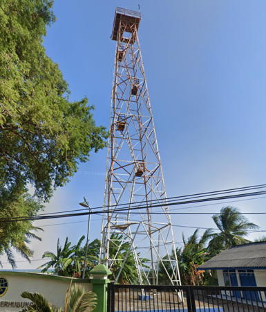
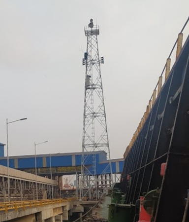
The Republic of Indonesia has been independent since 1945 after having been the Dutch East Indies for more than 350 years. It is a huge country, stretching along both sides of the Equator for more than 46 degrees of longitude (roughly 5100 km or 3200 miles). Comprised of some 17,000 islands (more than 6000 inhabited islands), it has hundreds of major aids to navigation.
The island of Java (Jawa in Indonesian) is the heart of the country and home to 57% of the population. In fact, with more than 140 million residents it is the world's most populous island. The national capital, Jakarta, is on the northwestern coast of Java.
Indonesia is divided into 38 provinces (provinsi) and the provinces are subdivided into county units called regencies (kabupaten). This page includes lighthouses of the northeastern mainland regencies of East Java (Jawa Timur) Province; this includes lights of the Java Sea to the north of Java and the Madura Strait to the northeast. In addition to the east end of Java, East Java Province also includes the island of Madura and a number of nearby smaller islands; their lighthouses are described on a separate page.
More than 700 languages are spoken in Indonesia. The official national language, Indonesian (Bahasa Indonesia), was standardized from a form of Malay that served as a lingua franca across the archipelago. In Indonesian a lighthouse is a mercusuar or a menara suar. Tanjung is a cape, ujung is a headland or point of land, bukit is a hill, sungai is a river, kuala or muara is an estuary or river mouth, pulau is an island, karang is a reef, batu is a rock, laut is a sea, selat is a strait, teluk is a bay, pelabuhan is a harbor, and labuhan is a port.
The original Dutch names of historic lighthouses, if known, are shown in curly brackets {}.
Aids to navigation in Indonesia are operated and maintained by the Directorate of Marine Navigation within the Directorate General of Sea Transportation
ARLHS numbers are from the ARLHS World List of Lights. DSI numbers, if known, are the Indonesian light list numbers. Admiralty numbers are from volume Q of the Admiralty List of Lights & Fog Signals. U.S. NGA List numbers are from Publication 112.
- General Sources
- Leuchttürme in Indonesien
- Photos posted by Andreas Köhler.
- Lighthouses in Indonesia
- Wikimedia photos, including a collection of historic photos from the collection of the Tropenmuseum in Amsterdam.
- World of Lighthouses - Indonesia
- Photos by various photographers available from Lightphotos.net.
- Online List of Lights - Indonesia
- Photos by various photographers posted by Alexander Trabas.
- Indonesia
- Historic postcard views from the collection of Michel Forand.
- Leuchttürme Asiens, Australiens, und Ozeaniens auf historischen Postkarten
- Historic postcard views posted by Klaus Huelse.
