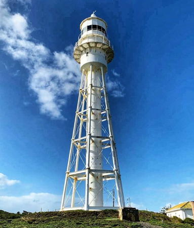
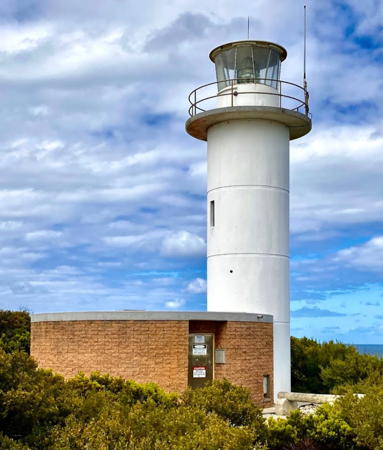
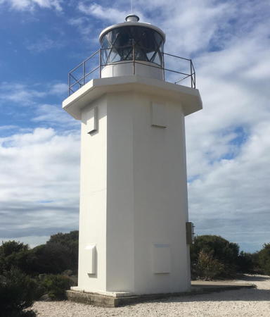
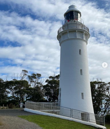
The independent Commonwealth of Australia occupies the entire Australian continent, the island of Tasmania, and numerous smaller islands. British exploration and settling of the continent began late in the 1700s, with the first colony established in the Sydney area in 1788. By the 1850s there were six British colonies, including New South Wales and Queensland in the east, Victoria and South Australia in the south, Western Australia in the west, and Tasmania off the south coast. The Commonwealth was formed on New Years Day 1901 as a federation of the six colonies.
Australia is both the smallest continent and the sixth-largest country in the world, with a population of about 26 million. It continues to be a federation of the six original states, plus the federally administered Northern Territory, Australian Capital Territory, and Jervis Bay Territory. It is a Commonwealth Realm recognizing the British monarch as head of state.
Australia's island state of Tasmania is located off the southeastern coast, separated from Victoria by the 240 km (150 mi) wide Bass Strait. Shaped roughly like a shield, Tasmania is a little over 300 km (190 mi) in diameter. The island is accessible by air and also by the ferry steamer Spirit of Tasmania, which makes regular sailings from Geelong (near Melbourne) on the mainland to Devonport in Tasmania.
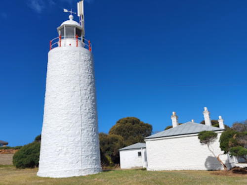
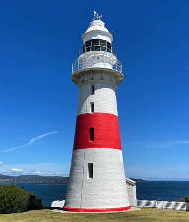
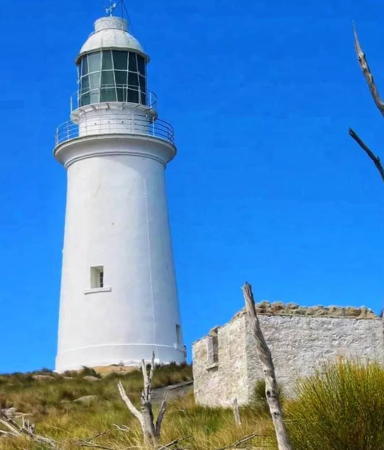
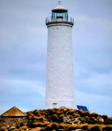
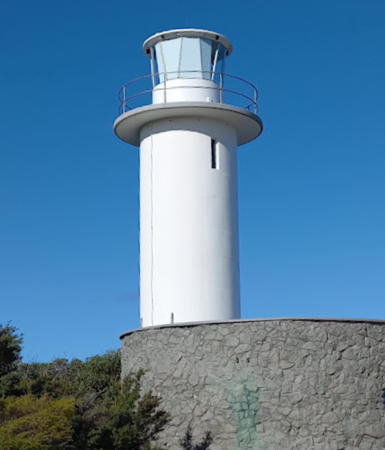
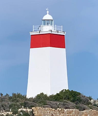
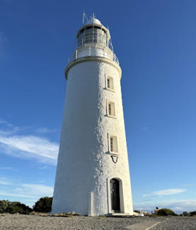
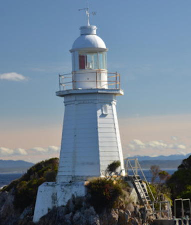
The most accessible lighthouses in Tasmania are on the north coast, where a series of handsome towers can be reached easily by road. Elsewhere many of the lighthouses are in more remote locations. Lighthouse preservation has become a concern in the state as several historic lighthouses have been deactivated in recent years. Although there is no state preservation society there have been strong local efforts at many sites.
Coastal aids to navigation in Australia are maintained by the Australian Maritime Safety Authority (AMSA), but usually AMSA manages only the lighting equipment. Some of the smaller lights are maintained by Maritime and Safety Tasmania (MAST). Many of the stations are managed by the Tasmania Parks and Wildlife Service.
The International Hydrographic Organization defines South East Cape, the southern tip of Tasmania, to be the point of division between the Indian Ocean and the Pacific Ocean. However, in Australia the waters between the Australian continent and Antarctica are considered part of the Southern Ocean.
ARLHS numbers are from the ARLHS World List of Lights, Admiralty numbers are from volume K of the Admiralty List of Lights & Fog Signals, and U.S. NGA numbers are from NGA Publication 111.
- General Sources
- Tasmanian Lighthouses
- The section of the Lighthouses of Australia site devoted to Tasmania lights.
- AMSA Heritage Lighthouses
- An interactive map links to information and photos for the major AMSA lighthouses.
- Lighthouses and Lightvessels in Australia - Tasmania
- Index to Wikipedia articles; many include photos.
- Tassie Lights
- Dr. Joseph Ferrari's January 2004 article on Tasmanian lighthouses in Lighthouse Digest.
- Lighthouses in Tasmania
- Photos by various photographers available from Wikimedia.
- World of Lighthouses - Tasmania
- Photos by various photographers available from Lightphotos.net.
- Online List of Lights - Tasmania - West Coast, East Coast, North Coast, and Bass Strait
- Photos by various photographers posted by Alexander Trabas. Lights of King Island and the Hogan and Kent Groups are on the Bass Strait page. Most of the photos for Tasmania are by Andrew Elwell or Jim Smith.
- Leuchttürme Australiens und Ozeaniens auf historischen Postkarten
- Historic postcard images posted by Klaus Huelse.
- GPSNauticalCharts
- Navigation chart for Tasmania.
- Google Maps
- Satellite view of Tasmania.
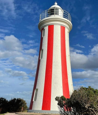
Mersey Bluff Light, Devonport, November 2023
ex-Instagram photo by Aleesha Kristen
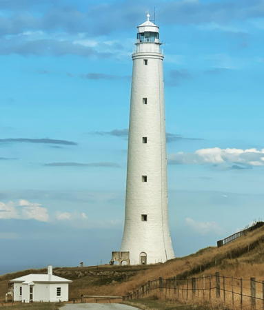
Cape Wickham Light, King Island, February 2022
Instagram photo by Bill Heimana Low
