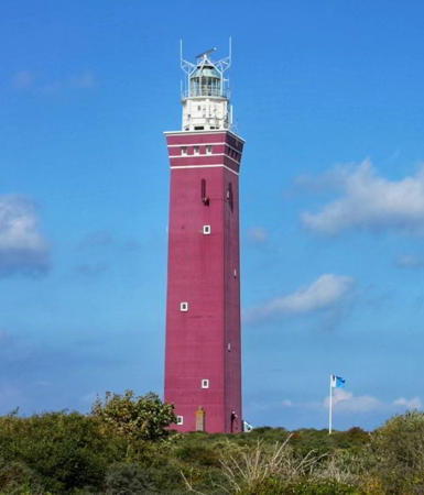
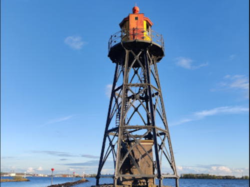
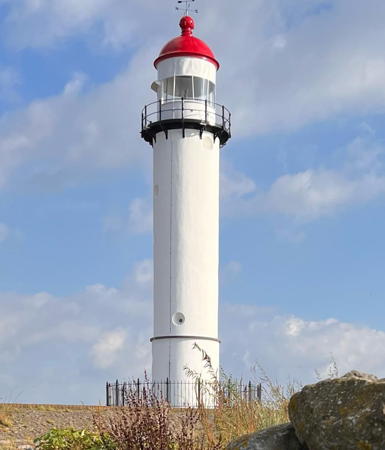
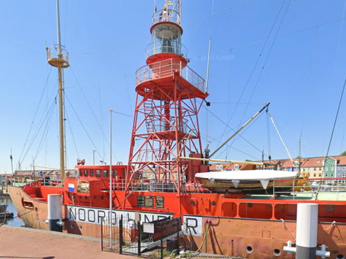
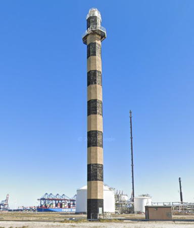
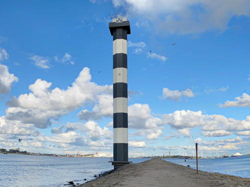
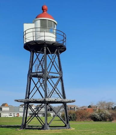
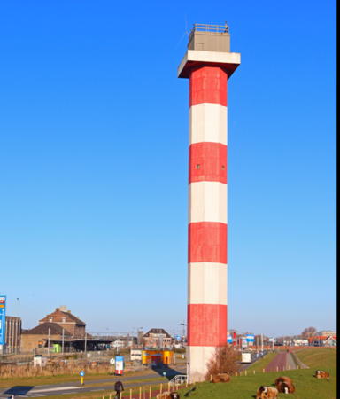
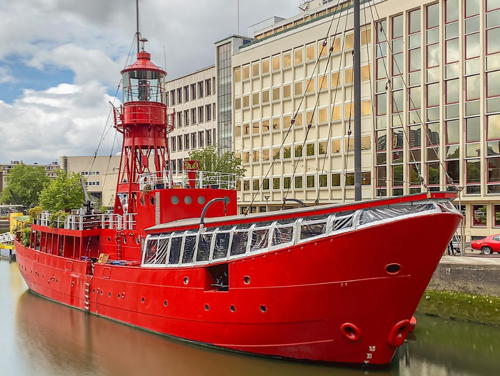
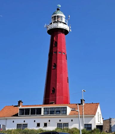
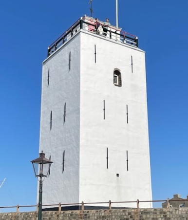
The Kingdom of The Netherlands (Nederland in Dutch) is located on the southeast side of the North Sea and has a population of about 18 million. A small country with a long and illustrious maritime tradition, the Netherlands is home to a large number of historic lighthouses. For centuries fires were lit atop brick towers to guide returning Dutch sailors, and even today the traditional Dutch word for a lighthouse is vuurtoren (fire tower).
The Netherlands is divided into twelve provinces (provincies), and the provinces are subdivided into municipalities (gemeenten). The name Holland is often used informally to refer to all of the Netherlands, but properly (and historically) it describes the coastal region between the Rhine/Maas delta and the entrance to the Zuiderzee (now the IJsselmeer). This page includes lighthouses of the province of Zuid-Holland (South Holland). This region includes Rotterdam, the largest port in Europe and second largest city of the Netherlands.
There is strong interest in the country in lighthouses and their preservation and many towers have been restored in recent years.
Lighthouses in the Netherlands are maintained by the Rijkswaterstaat, the ministry of infrastructure and water management. In recent years there has been a movement to transfer some of the historic towers to the ownership of municipal authorities.
The digraph IJ or ij acts as an additional letter in the Dutch alphabet. In Dutch vuurtoren is a lighthouse, lage licht is a front light, hoge licht is a rear light, lichthuis is a lantern room, lichtopstand is a smaller light beacon, baken is an unlit beacon, eiland is an island, ondiepte is a shoal or reef, baai is a bay, zeestraat is a strait, zeegat is an estuary or harbor mouth, kaap is a cape or headland, sluis is a lock, dijk is a dike, rivier is a river, and haven is a harbor.
ARLHS numbers are from the ARLHS World List of Lights. NL numbers are from the official Dutch list. U.K. Admiralty numbers are from volume B of the Admiralty List of Lights & Fog Signals. U.S. NGA numbers are from Publication 114.
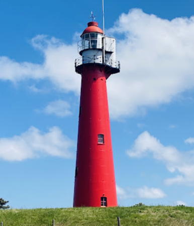
1893 Hoek van Holland Rear Light, Rotterdam, June 2024
Google Maps photo by Arno Admiraal

