The United States of America is a federal union of 50 states and a capital district. Although Minnesota Territory was established in 1849 Minnesota did not assume its present borders until it was admitted to the Union as the 32nd state in 1858. The state borders Wisconsin to the southeast, Iowa to the south, North and South Dakota to the west, and the Canadina provinces of Ontario and Manitoba to the north.
Minnesota is about as far away from the ocean as it is possible to be in the United States, but it has a shoreline on Lake Superior and a major port at Duluth. Much of the ship traffic carries iron ore from the Mesabi Range north of Duluth. The Port of Duluth is the world's farthest inland port accessible to oceangoing ships: it is 2300 mi (3700 km) from the Atlantic Ocean by way of the Great Lakes and the St. Lawrence Seaway.
In southern Minnesota the city of Minneapolis is the head of navigation on the Mississippi River. The navigable channel in the river extends 1811 mi (2914 km) to the Gulf of Mexico.
Aids to navigation in Minnesota are maintained by the U.S. Coast Guard Aids to Navigation Team Duluth, but ownership (and sometimes operation) of historic lighthouses has been transferred to local authorities and preservation organizations in many cases.
ARLHS numbers are from the ARLHS World List of Lights. USCG numbers are from volume 7 of the U.S. Coast Guard List of Lights.
- General Sources
- Minnesota Lighthouses
- Photos and historical accounts by Kraig Anderson.
- Minnesota, United States Lighthouses
- Aerial photos posted by Marinas.com.
- Lighthouses in Minnesota
- Photos by various photographers available from Wikimedia.
- Lake Superior
- Lighthouse photos posted by C.W. Bash.
- Leuchttürme USA auf historischen Postkarten
- Historic postcard images posted by Klaus Huelse.
- U.S. Coast Guard Navigation Center: Light Lists
- The USCG Light List can be downloaded in pdf format.
- GPS Nautical Charts
- Navigation chart for Minnesota.
- Google Maps
- Satellite view of Minnesota's coast.

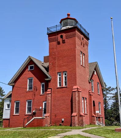
Two Harbors Light, Two Harbors, June 2022
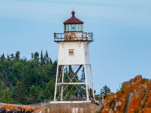
Facebook photo
by Selector Jonathon Photography


