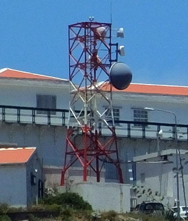
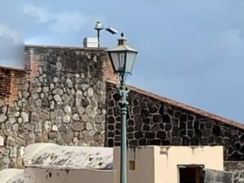
This page includes lighthouses of two small island "special municipalities" of the Netherlands located in the Leeward Islands at the northeastern corner of the Caribbean Sea. Since the Netherlands Antilles was dissolved in 2010 these two islands and the island of Bonaire in the southern Caribbean are known collectively as the Caribbean Netherlands.
Saba is a small island about 80 km (50 mi) southwest of St.-Barthélemy. Only about 4 km (2.5 mi) in diameter, the island is essentially a single volcanic peak, Mt. Scenery; the mountain rises to an elevation of 870 m (2854 ft). Saba was first settled by the Dutch around 1640; although it changed hands a number of times after that it has been Dutch again since 1816. The population is about 2000. Saba has no protected harbor capable of receiving cruise ships, so it is one of the least visited islands of the Caribbean. Access is by short-takeoff aircraft or ferry from the other Dutch Leeward Islands (Sint Maartin and Sint Eustatius). Hair-raising roads snake around the mountain to connect the small villages of the island.
Sint Eustatius, nicknamed Statia, is a somewhat larger island located about 30 km (19 mi) southeast of Saba and 15 km (9 mi) northwest of St. Kitts. About 7 km by 3 km (4.5 mi by 2 mi), the island is at the north end of the same partly submerged ridge that extends through St. Kitts and Nevis. It was settled by the Dutch in 1636 and remained Dutch thereafter except for an occupation by British forces in 1781-84. Less mountainous than Saba, Sint Eustatius has room for a full-size airport runway, but it has only a small protected harbor at Oranjestad, the capital. The population of the island is about 3300.
Special thanks to Alexander Trabas for determining the location of the elusive Oranjestad Light on Statia.
ARLHS numbers are from the ARLHS World List of Lights. NL numbers are from the official Dutch list. Admiralty numbers are from volume J of the Admiralty List of Lights & Fog Signals. U.S. NGA numbers are from Publication 110.
- General Sources
- World of Lighthouses - Caribbean Netherlands
- Photos by various photographers available from Lightphotos.net.
- Online List of Lights - Caribbean Netherlands
- Photos by various photographers posted by Alexander Trabas. Photos for this area are by Capt. Peter Mosselberger ("Capt. Peter").
- GPSNauticalCharts
- Navigational chart for Saba and Sint Eustatius.

