The Republic of Trinidad and Tobago is an island nation in the southeastern corner of the Caribbean Sea north of Venezuela's Orinoco Delta. Originally colonized by Spain, the islands were ceded to Britain in 1802 and united as a single colony in 1889. The country has been independent since 1962. Trinidad and Tobago is usually considered part of the West Indies, but it is on the South American continental shelf and is geographically a South American country.
Trinidad is much the larger of the two main islands. It is separated from the Venezuelan coast by the Gulf of Paria, a broad but relatively shallow sea connected to the Caribbean Sea to the north by straits called the Dragon's Mouths and to the Atlantic Ocean on the south by a strait called the Serpent's Mouth. The population of Trinidad is about 1.3 million. Port-of-Spain, on the west coast of the island, is the national capital and major port.
The smaller island of Tobago is about 35 km (22 mi) northeast of Trinidad. The island is about 40 km (25 mi) long and 10 km (6 mi) wide; its population is about 60,000.
Trinidad is divided into nine regions and five municipalities (boroughs or cities). Tobago has its own House of Assembly and enjoys some limited autonomy..
Navigational aids in Trinidad and Tobago are managed by the Maritime Services Division of the Ministry of Works and Transport.
ARLHS numbers are from the ARLHS World List of Lights. TT numbers are from the National Register of Aids to Navigation. Admiralty numbers are from Volume J of the Admiralty List of Lights & Fog Signals. U.S. NGA numbers are from Publication 110.
- General Sources
- Online List of Lights - Trinidad and Tobago
- Photos by various photographers posted by Alexander Trabas; for this area the photos are mostly by Capt. Theodore Hinrichs ("Capt. Theo") and Capt. Peter Mosselberger ("Capt. Peter").
- Lighthouses in Trinidad and Tobago
- Photos by various photographers available from Wikimedia.
- World of Lighthouses - Trinidad and Tobago
- Photos by various photographers available from Lightphotos.net.
- Leuchttürme Mittelamerikas und der Karibik auf historischen Postkarten
- Historic postcard views posted by Klaus Huelse.
- National Register of Aids to Navigation
- Inventory of navigational aids.
- GPSNauticalCharts
- Navigational chart for Trinidad and Tobago.

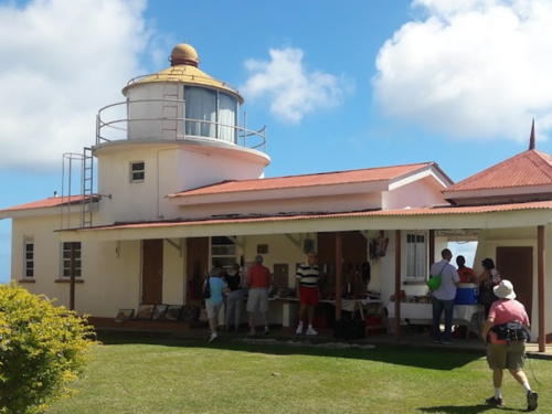
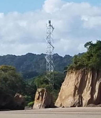
Galera Point Light, Toco, January 2022
Google Maps photo by FotoSalek
